Bobonaro Municipality, Timor-Leste
Source: https://www.timorleste.tl/destinations/bobonaro/
Extracted: 2025-06-14
Section: Destinations > Municipalities > Bobonaro
Overview
Bobonaro municipality is located in the far west of Timor-Leste, bordering Indonesia and the Savu Sea. The region features diverse landscapes ranging from red earth and dry vegetation to lush green rice fields.
Geography and Landscape
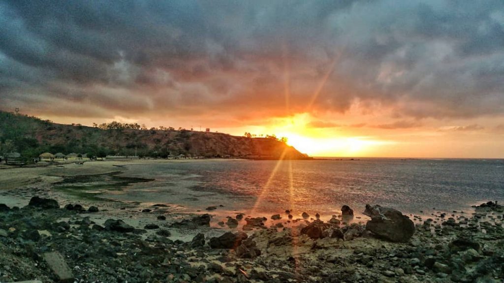
- Northern coastline with grey sand beaches
- Scenery includes:
- Red earth terrain similar to northern Australia
- Bright green rice fields
- River flats with water buffalo
- Steep mountains with limestone outcrops and caves
- Forested southern regions with grasslands
Key Locations
-
Batugade
- Small salt water lake
- Overgrown Portuguese fort
-
Balibo
- Historical site of massacres during Indonesian occupation
- Balibo House (community centre)
- Portuguese Fort converted to hotel and museum
-
Maliana
- Municipality capital
- Fertile flood plain
- Important rice growing area
- Portuguese-influenced buildings
- Large market
- Home to Kemak people
-
Marobo
- Geo-thermal hot springs
- Developed bathing pools
Cultural Highlights
- Kemak people with rectangular stilt houses
- Tetun people with cone-shaped thatched houses
- Famous for producing distinctive black-background tais (traditional textiles)
Activities and Attractions
- Hiking in mountain regions
- Cave exploring
- Visiting traditional villages
- Marobo Hot Springs
- Balibo Fort
- Scenic driving routes
Practical Travel Information
- Requires 4WD vehicle for southern regions
- Slow but scenic driving conditions
- Recommended for adventurous travelers interested in cultural and natural experiences
Recommended Routes
- Road from Dili to Batugade border crossing
- Route to Zumalai on the south coast
This content was extracted from the official Timor-Leste tourism website (www.timorleste.tl) as part of a comprehensive content preservation project.